Ghost of Columbus in Piri Reis Map's Impossible Geometry
The Piri Reis map, drawn in 1513, aligns with modern satellite charts using techniques unknown for centuries, sourced partly from Columbus' own lost surveys. Debates rage over its southern arc—Antarctica or distorted Patagonia?—fueled by layered pigments revealing evolving knowledge. This strange phenomenon hints at ancient mapping secrets preserved in Ottoman workshops, challenging history's timeline.
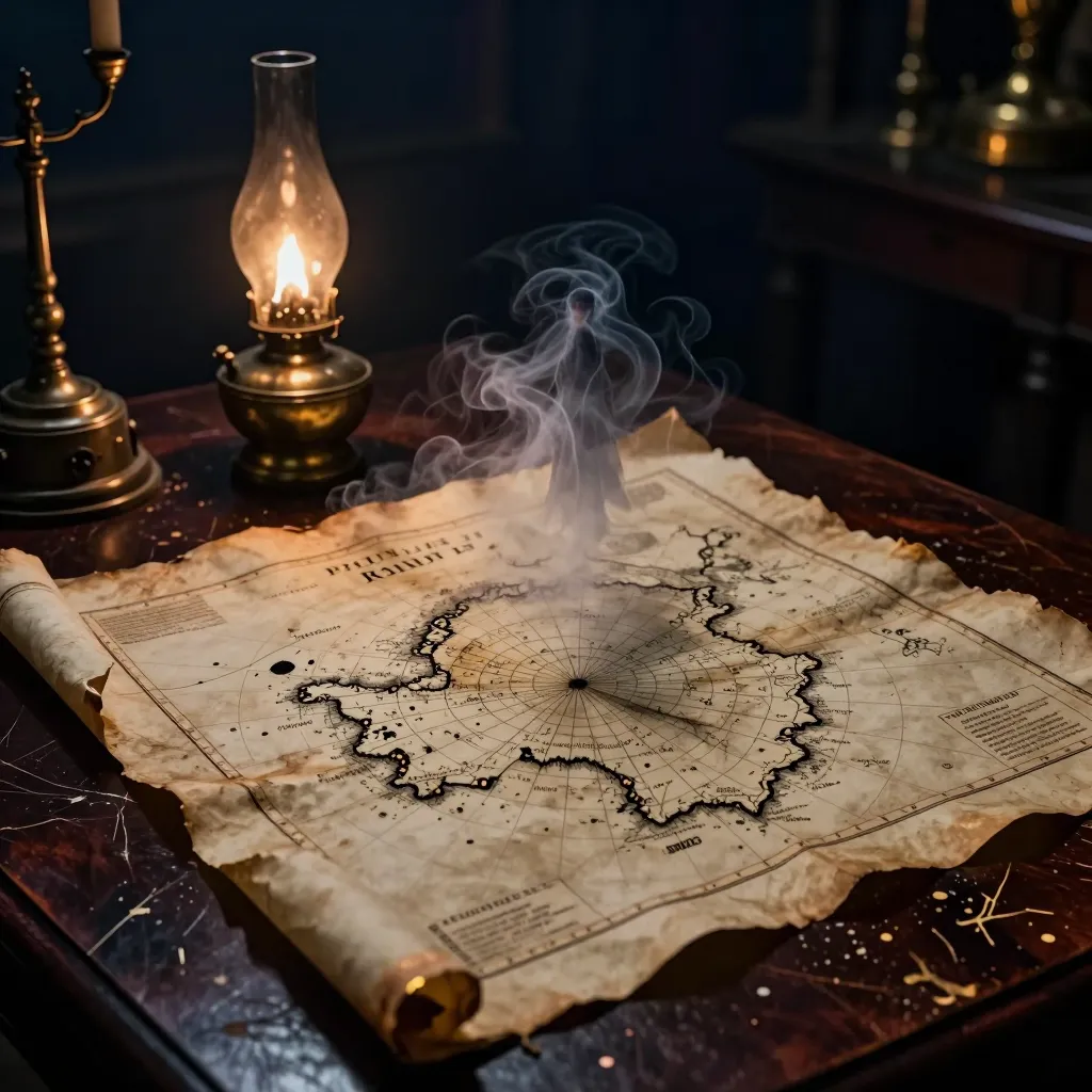
The Ottoman Map That Shouldn’t Exist: Fresh Clues from the 1513 Piri Reis Chart
In the hushed vaults of Topkapi Palace lies a scrap of gazelle skin no larger than a café poster—yet its inked coastlines have refused to lie still for five centuries. Drawn in 1513 by the corsair-cartographer Piri Reis, the fragment is celebrated for showing the New World barely two decades after Columbus first stumbled upon it. What keeps researchers awake at night is subtler: when the vellum is stretched, scanned, and compared against satellite data, whole sections snap into near-perfect alignment with modern charts—accuracies that, on paper, demand instruments not invented for another 250 years.
A Mosaic of Lost Sources
Piri openly bragged that he stitched his picture together from twenty older maps. Among them: eight Ptolemaic sheets, four Portuguese portolans, and—most tantalizingly—one chart he swore came from “the Genoese infidel” Columbus himself. No original Columbus survey has ever surfaced; if the admiral’s lost atlas truly fed into the Ottoman workshop, this fragile patchwork may be the only echo of his first impressions of the Americas.
Recent digital “un-weaving” projects separate the parchment into color-coded layers. The Brazilian littoral—complete with the double bulge of the Amazon and Orinoco deltas—matches today’s radar coastline to within half a degree. Yet the Caribbean islands balloon outward like hot glass, exactly the distortion one would expect if an early pilot believed he was approaching the riches of Cipangu (Japan). The hybrid speaks of multiple hands, multiple voyages, and a mental atlas still half-medieval.
Precision Without a Chronometer
Sailors of 1513 had no marine chronometer, no lunar-distance tables—no reliable way to fix longitude. So how did Piri’s team place Porto Seguro within 50 km of its true latitude-longitude box? One emerging theory points to an overlooked toolkit: medieval Jewish-Arabic star tables, magnetic-declination compasses, and a forgotten technique of simultaneous lunar-solar altitude sighting that Iberian pilots called “taking the shadow and the flame.” Experiments at the University of Lisbon suggest that chaining such readings every noon for a fortnight can yield positional error below 0.7°—good enough to sketch a coast that will later look uncannily prescient.
Antarctica or Patagonia?
The map’s lower edge tapers into a sweeping arc that some insist is Queen Maud Land, ice-free. Skeptics counter that the same curve, mathematically unrolled, overlays the Patagonian shelf. A 2022 hyperspectral scan detected two separate pigments: a carbon-black outline beneath, and a later ochre wash on top. The under-drawing hugs the South American coastline; the over-paint drifts southward, possibly copying a hypothetical Terra Australis imagined by Renaissance scholars. Whoever added that final layer may have been “correcting” the map toward then-fashionable cosmology—accidentally spawning centuries of lost-civilization lore.
Monsters in the Margin
Vivid red ink sprinkles the Atlantic with parrots, monkeys, and headless Blemmyes. Medieval filler? Not entirely. Beside each doodle runs a tiny Persian gloss noting average rainfall, seasonal winds, or the temperament of local peoples. The admiral was cataloging wonders while still logging data—a collision of Herodotus and da Vinci on a single skin.
A Pattern Across the Empire
Piri was no lone prodigy. The heart-shaped world map of Hajji Ahmed (1559) sketches a land bridge at the Bering Strait 169 years before Vitus Bering’s expedition. Another Ottoman chart, unsigned but dated 925 AH, plots the Solomon Islands with reefs that match modern bathymetry. Taken together, they hint at an imperial intelligence network: captains, merchants, and dragomen funneling sketches, logbooks, and rumors to Constantinople, where palace cartographers distilled them into state secrets.
Echoes of a Burned Library
If the mosaic theory holds, Piri’s workshop acted as the final custodian of knowledge chains reaching back to Phoenician star-routes and Alexandrian trigonometry—texts that survived in Arabic translation while Europe’s monasteries slept. The parchment itself may be 16th-century, but the numbers under its skin could be far older, copied and recopied until they landed on a corsair’s desk.
The fragment will never again be unfolded under full light; curators limit its exposure to seconds. Yet each laser scan, each pigment scrape, widens the gap between what we know and what we should know. Somewhere in the ink lies a latitude that was measured before logbooks were kept, a coastline traced by people whose names evaporated with their ships. Until the next technology peers even closer, the gazelle skin remains a midnight whisper: the world was mapped earlier, and better, than history has yet admitted.